For most of its recent history, the Milldale area was rural farmland. Situated in Rodney District, just west of Silverdale, the area was formerly part of Waitemata County from 1877 to 1974. The surrounding region was initially known as Te Wēiti or The Wade until 1911, when the village and wider region was re-named Silverdale. The site of Milldale is associated with the Wainui district and the small logging, quarrying, and gum-digging communities that arose there in times gone by, including Horseshoe Bush and Whitehills.
In earlier times, Te Hemara Tauhia was a Te Kawerau-a-Maki Māori chief who once controlled most of the area on either side of Pūhoi. His authority may have extended as far south as the north bank of the Wēiti River, where Milldale is now. The dominant iwi along the coast were Te Kawerau from about 1650 and Ngāti Pāoa, which primarily occupied the nearby islands but had fishing rights along the coast. There were also ancestral and marriage connections with Ngāti Whātua and Ngāpuhi, and possibly Te Waiohua. The densely forested valley where Milldale is now located was known as Te Wēiti or Waiparaheka, and was located on the eastern side of a portage route that continued to Kaukapakapa.


The local Te Kawerau population retained good relations with Ngāti Whātua when its Te Taou hāpu invaded the Tāmaki isthmus in the 1740s. During the Musket Wars of the 1820s, Ngāpuhi captured Rarowhara, a large pā located at Wade Heads, and most of the local Māori fled, though a small number remained behind. A small population returned in the 1830s but stayed mostly out on the Whangaparāoa Peninsula, led by Taipau. At the same time, Te Hemara was one of the most prominent rangatira in the area. He did not sign Te Tiriti o Waitangi in 1840 and his land was sold without his input in the Mahurangi Purchase of 1841. He fought against the sale and was able to retain a large tract of land that included Pūhoi, Waiwera, and Wenderholm. However, his presence did not stop Pākehā from moving into the area now known as Silverdale.
This area’s close proximity to Auckland, large Kauri stands, and Wēiti River providing access to inland resources ensured its continued popularity when the Pākehā arrived. At this time, Māori were again using the Wēiti area for seasonal fishing and shellfish gathering, and to gather flax to trade. The Mahurangi Purchase legal case wasn’t resolved until the mid-1850s, before which all property claims were contested. During this time mature native timber in the area was harvested, milled, and transported by river networks, primarily for building materials but also perhaps for firewood to satisfy the demand of rapidly growing Auckland. The land was surveyed and sold as small farm lots to a few local families.


The first Pākehā land purchase in the district was made on 18 November 1839 when Henry Tayler bought the 20,000 acre Te Wēiti block south of the Wēiti River, acquired from Māori chiefs of Ngāti Whātua, Ngāti Paoa and Ngāti te Matua in a pre-Treaty transaction. He established a mill at Stillwater near the mouth of the Wēiti River to process most of the Kauri logs that came from the area over the following few years. These were loaded onto small boats on the Wēiti River and taken to Auckland by sea. In 1844, Taipau and Te Wairoa sold the land that is now Milldale to John Williamson. By 1853, there was a population explosion in the region with up to 300 people living in the area around the Wēiti River, many employed by Maurice and Mary Kelly’s rapidly growing timber felling business. The Kelly family occupied, owned or leased much of the area. They established The Wade Hotel in Silverdale; the region’s colourful focal point for social activity including local balls, a district polling booth when required, and even an occasional dog-fighting venue.

To the west of Milldale, where today’s Young Access Road is, was the original route of the Great North Road which extended from Karangahape Road in Central Auckland to Whangarei. In the 1850s this was a simple track through the scrub, which served as the first route north from Auckland. The region’s growing popularity saw the Great North Road pass directly through what is now Wainui, creating quicker access options to the region and reducing dependence on local steam boats for transport.
Once the region’s native trees were all felled, industry shifted from timber cutting to rural farming, Kauri gum-digging which was popular in the region through the 19th century and early 20th century, orchard produce, then sheep and dairy farming. In the hills to the west, there were and still are several aggregate quarries. A few old agricultural airstrips still remain in the area.
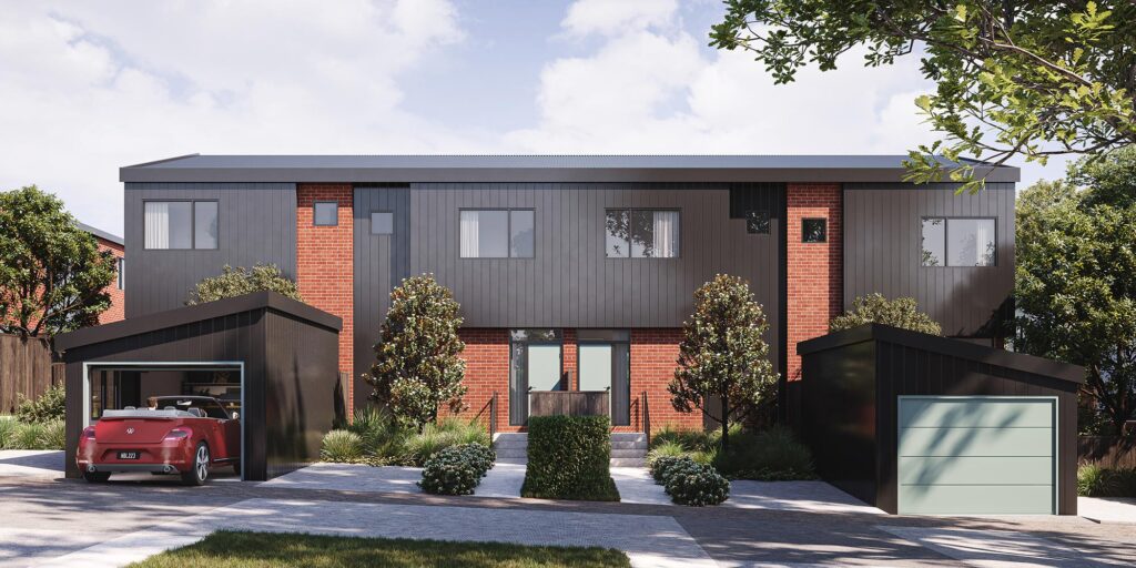
Today, the area is as popular as it ever was, with new homes being established in this fascinating area rich in history.
Selected sources:
“Makers of the Wade” by Robin Grover, Wooden Shed Publishing, Whangapraraoa, 2013; “Why the Hibisicus? Place Names of the Hibiscus Coast” by Robin Grover, Silverdale Districts and Historical Society, Auckland, 2008; “The Story of Silverdale: Alias the Wade 1839-1853” by Robin Grover, self-published, Waiwera, 1996; local research files via Auckland Libraries research facility, November 2022.
Photos (from top):
Wade River, Rodney County, Auckland Region, 2 Aug 1960, aerial photograph by Whites Aviation, reproduced with permission Whites Aviation Collection, Alexander Turnbull Library WA-53499;
Coach on Waiwera Road, ca. 1900, William Beattie, reproduced with permission Auckland War Memorial Museum Tāmaki Paenga Hira, PH-NEG-B335;
The Devonport to Waiwera horse-drawn coach, c.1870-1879, photographer unknown, reproduced with permission Auckland Libraries Heritage Collections T0490;
Wade River, wharf, no date, Frank Henry Hayden, reproduced with permission Auckland War Memorial Museum Tāmaki Paenga Hira, PH-NEG-C7695;
Wade River, no date, Frank Henry Hayden, reproduced with permission Auckland War Memorial Museum Tāmaki Paenga Hira, PH-NEG-C7696;
Wade Hotel, Silverdale, no date, photographer unknown, reproduced with permission Auckland War Memorial Museum Tāmaki Paenga Hira, PH-NEG-C150.